Ben Nevis
Highlands, Scotland
One of the items on our bucket list was to climb Ben Nevis, the highest mountain in Scotland, in United Kingdom and the island of Great Britain as a whole. The summit is 1,345 metres (4,413 ft) above sea level and is the highest land in any direction for 459 miles (739 kilometres).
After a week of camping in Lake District our next destination was Glencoe Camping and Caravanning Club site where we stayed for 6 days.
The campsite is lovely and quiet, located close to Glencoe and multiple attractions.
We have been warned by everyone about the midges and you definitely need to be prepared with spray/ oil or net to protect yourself from these annoying little flies.
As we were camping for few days we decided to do the Three Sisters route first and the second day, after we got prepared mentally and physically to do Ben Navis.
The Ben Nevis route starts from Ben Nevis Visitor Centre car park. The car park is quit big and you can pay by card. There is also a shop (with good ice cream) and facilities.
We have started early in the morning around 8am as the weather was nice and warm. As soon as you cross River Nevis, you start to climb on the mountain on the stoned path.
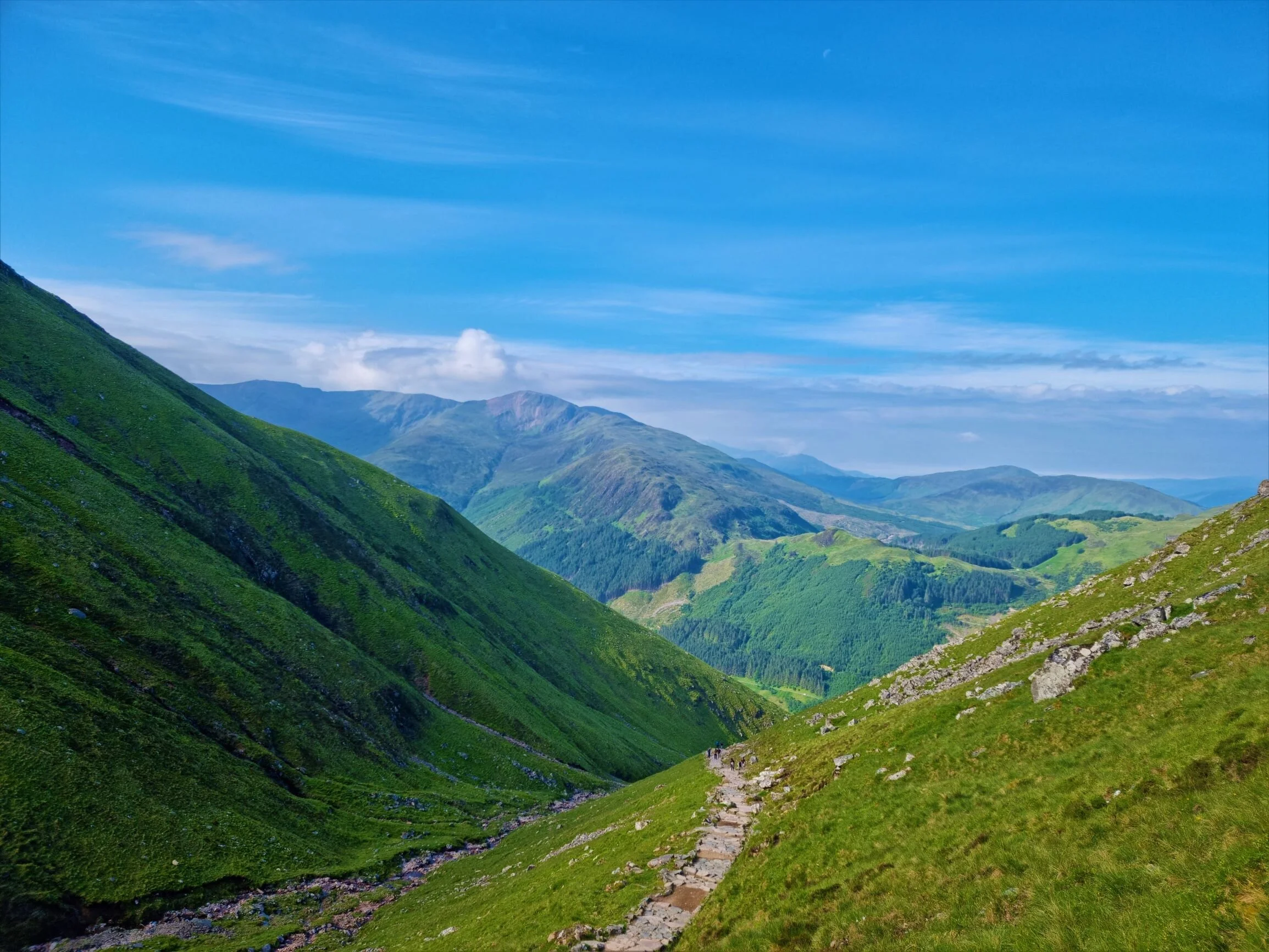
The area is so different to other mountains and it is like the entire Scotland mountains are filled with history and stories with clans.
An ancient giant of the land, Ben Nevis was once a massive active volcano which exploded and collapsed inwards on itself millions of years ago. At the summit, there is evidence of an explosion in the form of light-coloured granite.
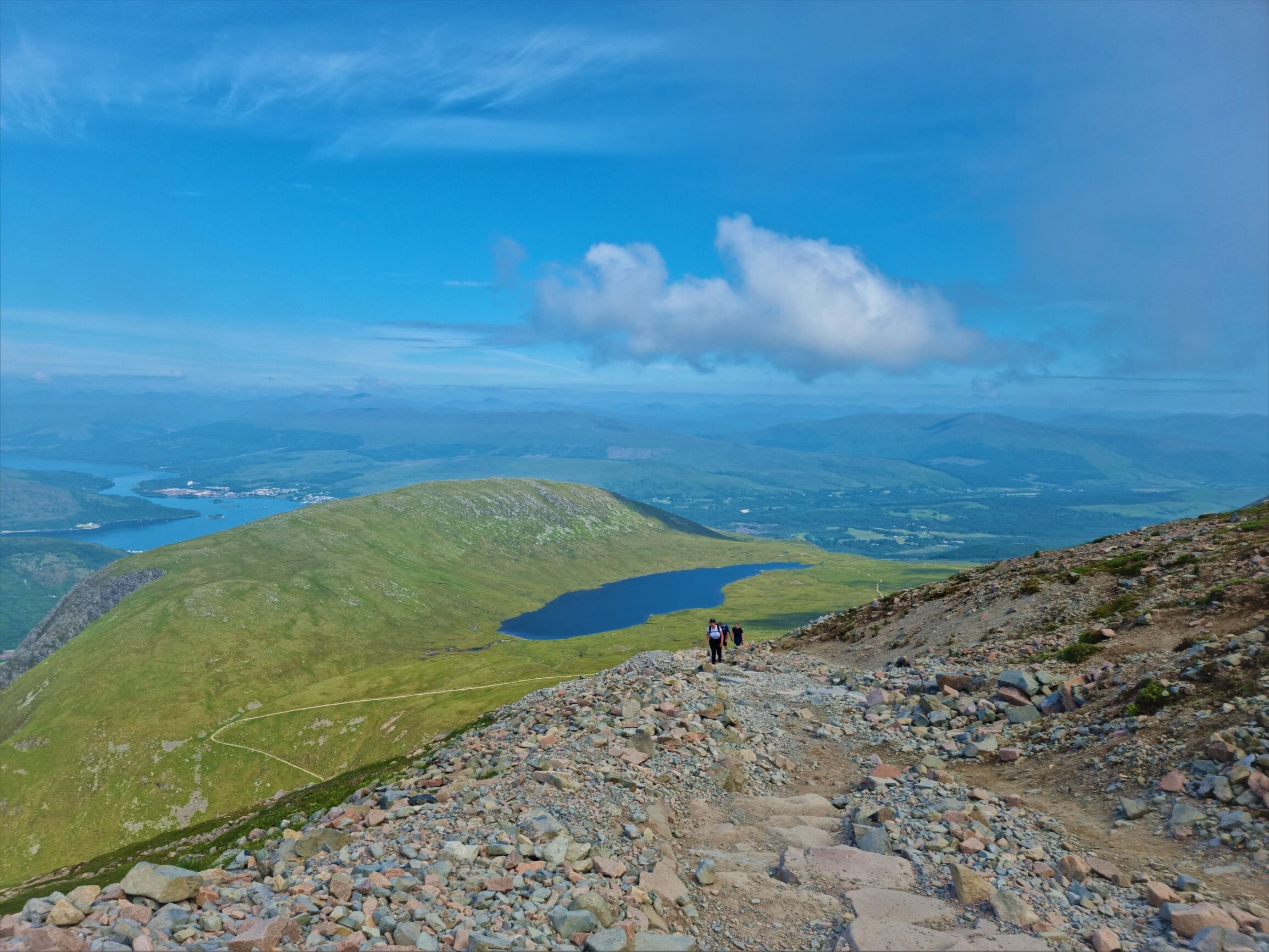
The climb is steep and challenging but it is accessible for any type of walker experienced or not. There is a tarn after 2 miles where you can take a break.
The path it is very popular and busy but no need to rush just take your time and enjoy the views.
I was trying to walk at a steady slow pace not to get tired very quickly but after 3 miles the path was rocky and more difficult to climb. if you have walking poles if does help and make a difference both climbing and descending as the gravel is sliding downhill.
After you passed the tarn the views are stunning. You can see Loch Eil, Loch Linnhe, Fort William and on a clear day the rest of the Highland mountains.
You can see that you’re climbing a big mountain when you get closer to the final leg of the route to the summit of Ben Nevis and see snow in June. It is a little bit strange when at the bottom of the mountain, just 4 miles downhill the temperature is 20 degrees Celsius and the the top is about 15 degrees. This was a surprise but I really enjoy cooling off my hands with a snowball.
There were few areas where the snow was thick but you could see at the edge of the cliff that it is about to fall down so stay out of the edge.
A lot of people have gone missing or found dead after climbing Ben Nevis so you need to take this serious and do not go away from the path.
After a long sweaty climb we have finally reached to the summit of Ben Nevis. What an achievement!
We were ready to take a break, have our lunch and take it all in.
The route we took is called mountain track but there are other routes much more difficult and dangerous.
The descend was much quicker and we have managed to do the entire 10 miles route is just 6 hours time.
As soon as we got back to the visitor centre we had a well deserve ice cream and reflected on the great day that we had.


